جدول المحتويات
Mineral exploration is one of the last great knowledge problems in industrial earth science. We know, with reasonable confidence, that specific geological formations in specific regions of the world contain economically valuable mineral deposits. What we do not know — what the industry spends tens of billions of dollars each year trying to determine — is precisely where those deposits are, how large they are, and whether they are recoverable at a profit.
AI is not changing what we are looking for. It is dramatically changing how effectively we find it.
The Economics of Traditional Exploration
The numbers that define traditional mineral exploration are sobering. Discovering a new economically viable mine typically costs $50–500 million in exploration expenditure, takes 10–20 years from first discovery to first production, and succeeds only a fraction of the time — industry estimates suggest that fewer than 1 in 1,000 exploration targets becomes a producing mine.
This cost and risk structure shapes every decision in mining: which areas to explore, how much drilling to commit to an early-stage target, when to advance a project to pre-feasibility study. The dominant cost in early-stage exploration is information: drilling holes, analyzing samples, interpreting geophysical surveys, and building geological models that tell you whether drilling more holes is worth it.
AI directly attacks this information cost. By analyzing existing data — historical drillhole assays, airborne geophysics, satellite imagery, regional geological mapping — with far greater sophistication than manual geological interpretation, ML models can dramatically narrow the zone of uncertainty about where ore bodies are likely to occur. This means fewer holes drilled in unproductive areas, faster progression of genuine targets, and significantly lower exploration cost per discovery.
How ML Models Analyze the Geological Data Stack
Modern AI-powered exploration integrates multiple data types that geologists have always used, but now analyzes them at a scale and with a cross-correlation sophistication that was previously impossible.
Seismic data interpretation: Deep learning models — particularly variants of convolutional neural networks (CNNs) — trained on labeled seismic datasets can identify structural features, fault networks, and stratigraphic horizons with speeds and consistency that rival experienced seismic interpreters. For sediment-hosted mineral deposits (many base metal deposits, coal, uranium), seismic interpretation is a primary exploration tool.
Geochemical assay analysis: Stream sediment surveys, soil geochemical sampling, and rock chip assays generate enormous multi-element datasets. ML clustering and dimensionality reduction techniques identify geochemical anomalies and element associations that indicate hydrothermal alteration or mineralization — often detecting subtle multi-element signatures that univariate analysis would miss entirely.
Satellite and hyperspectral remote sensing: Modern satellite platforms deliver hyperspectral imagery at resolutions below 5 metres. AI models trained to recognize spectral signatures of specific mineral assemblages — iron oxides, clay alteration minerals, carbonates — can map surface geology and alteration at regional scales at a fraction of the cost of equivalent field mapping.
Structural geology and prospectivity modeling: AI integrates all of the above data types into regional prospectivity models: probabilistic maps that score every area of a region by its likelihood of hosting mineralization of a given type. These models guide where exploration resources are concentrated, dramatically improving targeting efficiency.
Autonomous Drill Targeting
The most operationally significant near-term application of geological AI is autonomous or semi-autonomous drill targeting — the use of AI to recommend the precise locations, orientations, and depths of exploration drillholes based on integrated geological modeling.
Traditional drill targeting is a labour-intensive process: geologists review all available data, build interpretive models, debate the most prospective locations in technical team meetings, and produce drill plans that reflect the collective judgment of the team. This process is slow, expensive, and somewhat inconsistent — two equally competent geological teams analyzing the same data will often produce different drill plans.
AI-assisted targeting does not replace geologist judgment. It augments it by:
- Automatically integrating all available data sources — no human team can simultaneously hold in mind the patterns across hundreds of drillholes, multiple geophysical surveys, and geochemical datasets covering thousands of square kilometres
- Quantifying uncertainty — the AI can express not just where it thinks ore is most likely, but how confident that prediction is and what additional data would most reduce uncertainty
- Optimizing drill programs for information gain — recommending hole placements that will most efficiently test the geological model, rather than the locations that intuitively look most prospective
In practice, AI-assisted targeting has been demonstrated to improve drill program hit rates — the fraction of holes that intersect economic mineralization — by 20–35% compared to conventional targeting on equivalent datasets.
Grade Control AI: Real-Time Ore vs. Waste at the Mine Face
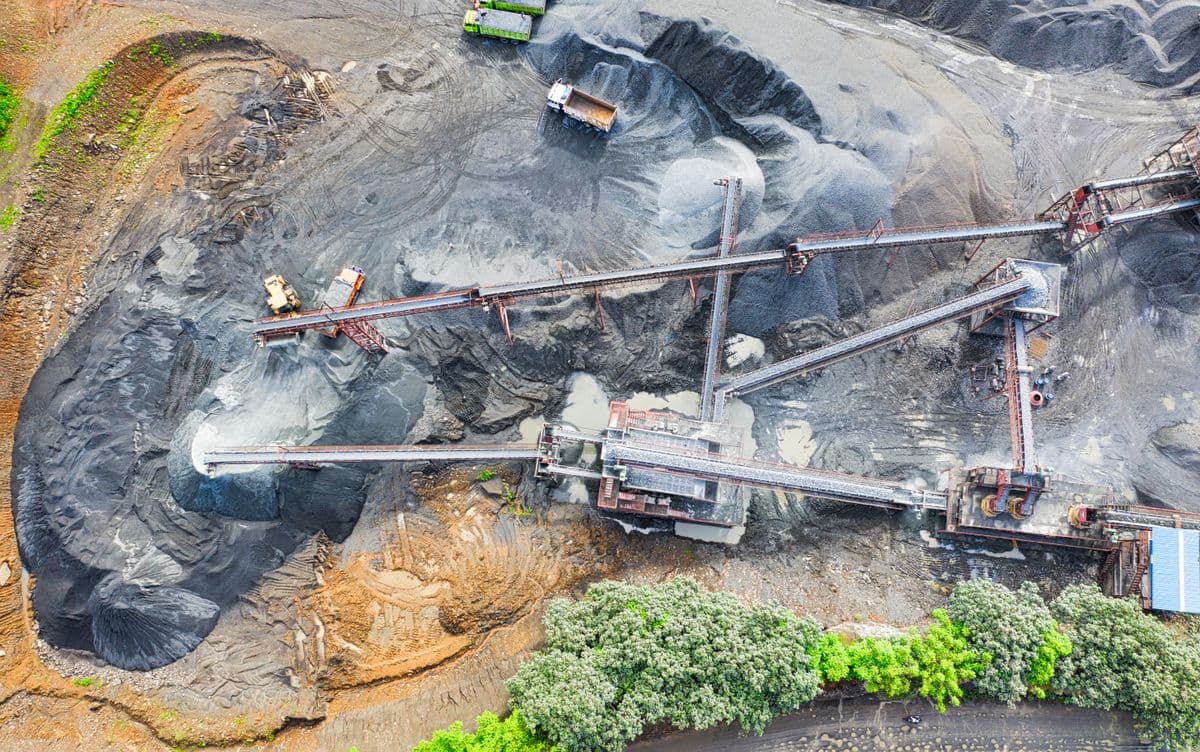
For operating mines, the economic value of AI shifts from exploration to production optimization. Grade control — the process of determining, in real time, which material being excavated is ore (worth processing) and which is waste (worth discarding) — is a high-frequency, economically critical decision made thousands of times per day at an active open-pit mine.
Traditional grade control relies on closely spaced blast-hole drilling and laboratory assays, which provide grade information 12–48 hours after the material is excavated. During that interval, the mine operates on estimates; misclassification of ore as waste (ore loss) or waste as ore (ore dilution) directly reduces recovered metal and increases processing costs.
AI grade control uses machine learning models trained on historical assay data, geophysical measurements, drill penetration rates, and spectral analysis of drill cuttings to predict ore grade at the blast-hole level in near-real time. The predictions are integrated into the mine's fleet management system, so haul trucks are routed — to the crusher or to the waste dump — based on AI grade predictions rather than waiting for laboratory results.
Demonstrated benefits at mines with AI grade control systems include:
- 8–15% reduction in ore dilution (less waste in the mill)
- 5–12% reduction in ore loss (less ore sent to waste)
- 20–30% reduction in grade control laboratory sample volume (lower cost)
For a mid-size open-pit mine processing 5 million tonnes of ore per year, a 10% reduction in ore dilution and a corresponding improvement in mill feed grade can add $10–25M to annual revenue, depending on commodity price.
Equipment Fleet Optimization
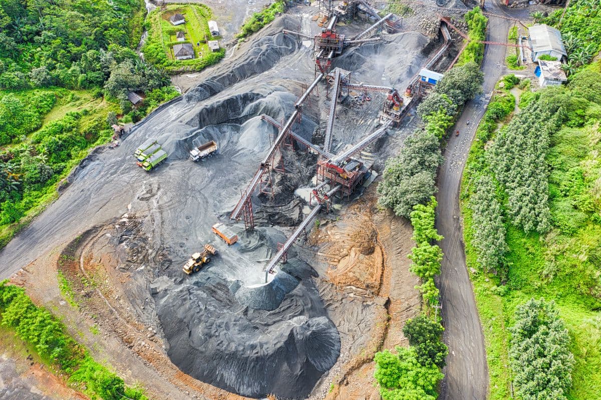
Mining operations involve large fleets of expensive mobile equipment — haul trucks that cost $5–8M each, excavators and shovels at $10–20M, processing plant equipment at far higher capital values. Managing this fleet efficiently — maximizing productive utilization, minimizing fuel consumption, scheduling maintenance to prevent unplanned failures — is a significant operational challenge.
AI fleet management systems analyze GPS tracking data, payload measurements, engine telemetry, and route conditions to continuously optimize truck dispatch, route selection, and load-dump cycle timing. The practical effect is that the same fleet moves more material per shift, with less fuel consumed per tonne moved.
| Fleet Optimization Lever | Typical AI Improvement | Economic Impact (100-truck fleet) | |---|---|---| | Truck dispatch optimization | 8–12% more tonnes/shift | $15–25M/year | | Fuel consumption reduction | 5–10% reduction | $3–6M/year | | Tyre management (life extension) | 15–20% longer tyre life | $2–4M/year | | Unplanned downtime reduction | 20–30% reduction | $5–10M/year |
Predictive maintenance for mobile mining equipment — using vibration analysis, oil condition monitoring, and engine performance data to predict component failures before they cause unplanned shutdowns — has the highest return for high-utilization, high-replacement-cost equipment like haul truck engines and hydraulic systems.
The Algeria Mining Context
Algeria's mineral endowment is substantial, and in several commodities it is world-class:
Iron ore: The Gara Djebilet iron ore deposit in the southwestern Sahara (Tindouf province) contains estimated resources of 3.5 billion tonnes at approximately 57% Fe — one of the largest high-grade iron ore deposits on the African continent. The deposit is currently in the early stages of development, with infrastructure construction underway. The greenfield nature of this development creates a rare opportunity to build AI-native operations from the outset, rather than retrofitting AI onto legacy systems.
Phosphates: Algeria's eastern provinces (Tébessa, Souk Ahras) host significant phosphate reserves. The development of these deposits — primarily through Somiphos and related entities — is a national priority, given phosphate's role in fertilizer production and the strategic importance of food security. AI-assisted processing optimization at phosphate beneficiation plants can improve P₂O₅ recovery rates and reduce reagent consumption.
Base metals: Zinc, lead, and silver deposits occur in several geological provinces, with the Oued Amizour zinc-lead project (near Béjaïa) representing a significant near-term development. AI targeting models built on regional geochemical and geological data could identify additional targets in the same belt.
Gold: The Hoggar and Tamanrasset regions in southern Algeria contain gold occurrences that have been systematically underexplored. The combination of remote location, difficult terrain, and limited historical exploration data creates exactly the scenario where AI-assisted prospectivity modeling provides the greatest leverage — efficiently prioritizing the most promising areas for focused ground follow-up.
Why Geological Data Should Stay in Algeria
The geological data generated by mineral exploration in Algeria — drillhole assays, seismic surveys, geophysical measurements, satellite imagery interpretations — is not merely commercially sensitive. It is strategically national in character.
A comprehensive database of Algeria's subsurface geology, built up over decades of systematic exploration and mining, is an asset of the Algerian state. Allowing this data to be processed on foreign cloud infrastructure, or incorporated into AI models controlled by international mining companies or technology vendors, creates a form of knowledge transfer that has historically preceded forms of economic control that resource-sovereign nations legitimately seek to avoid.
Algeria's legal framework already places significant restrictions on the export of geological data. But legal restrictions alone are not sufficient if the software tools used to process and analyze that data operate by sending it to servers outside Algerian jurisdiction.
The practical implication is clear: AI systems used for geological analysis of Algerian mineral data must be deployed on-premise, within Algerian data center infrastructure, under full control of Algerian operators or their designated local technology partners. This is not a constraint on AI capability — modern AI systems are fully capable of operating in fully on-premise configurations. It is a specification for how those systems should be deployed.
Practical Steps for a Mining Company Starting with AI
The path from current state to AI-powered geological operations does not require a massive transformation program. A practical starting sequence:
Step 1: Data consolidation (Months 1–3) Audit and centralize existing geological data — historical drillhole databases, geophysical surveys, production records, geological maps. Most mining companies have this data distributed across incompatible systems, filing cabinets, and individual workstations. Consolidation is a prerequisite for AI.
Step 2: Grade control AI pilot (Months 3–9) Deploy AI grade prediction at a single active pit, running in parallel with existing laboratory-based grade control. Validate predictions against laboratory results. Build operational confidence before committing to AI-directed truck routing.
Step 3: Predictive maintenance for critical equipment (Months 4–10) Instrument 10–15 critical assets with vibration and condition monitoring sensors if not already instrumented. Train AI models on historical failure data. Begin predictive maintenance scheduling as a decision-support tool for maintenance planners.
Step 4: Prospectivity modeling for exploration (Months 6–18) Build regional prospectivity models using consolidated historical data. Use AI targeting to guide the next year's exploration drill program. Evaluate hit rate against historical baseline.
Step 5: Expand and integrate (Year 2+) Connect AI systems across operational domains — geological model feeding into mine planning, grade control feeding into mill optimization, fleet management integrating with production scheduling.
Conclusion
AI-powered geological analysis is not replacing geologists. It is giving geologists tools that amplify their knowledge and experience by orders of magnitude — allowing them to interrogate vastly larger datasets, build more accurate models, and make better decisions about where to explore and how to mine. For Algeria, with its significant and partly underexplored mineral endowment, the combination of AI geological intelligence with a firm commitment to data sovereignty creates the conditions for a mining sector that is both more productive and more strategically controlled. The technology is ready. The opportunity is defined. The question is who will build the AI systems that work for Algerian geology, in Algerian languages, on Algerian infrastructure.